4th Mediterranean Championships in Orienteering – MCO
19-21 February 2015 – Israel
Model Event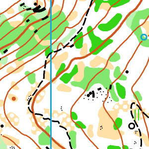 |
Map: Shimshit (2013) Scale: 1:10000, 5m contours. Map maker: Dan Chissick Description: A long, mostly steep ridge, covered in a mix of natural oak woods and planted pine/fir forests in various stages of growth, with a moderate path network. Scattered rock features and some man-made ruins. |
Sprint Distance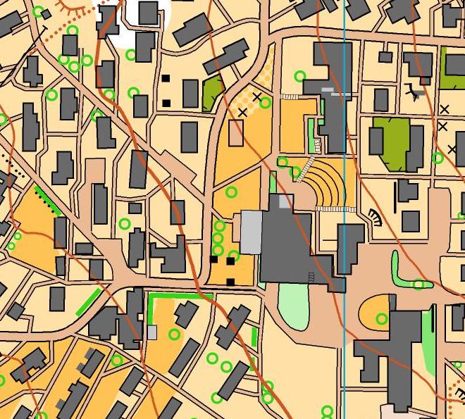 |
Map: Kibbutz Sarid (new map for MCO) Scale 1:4000, 2.5m contours. Map maker: Uzi Schweitzer Description: A typical Israeli communal settlement (kibbutz), including residential, agricultural and industrial buildings. Typical kibbutz map sample (not Sarid) |
Long Distance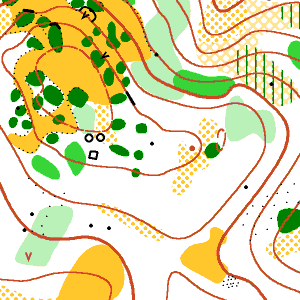 |
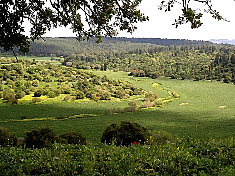
Map: Zippori (2013) Scale: 1:15000 – MCO Senior/Junior Men, Senior Women. 1:10000 – MCO Junior Women. 5m contours Map maker: Petr Matula, Zdenek Lenhart, Evzen Cigos Description: Mixed natural oaks and planted pine/fir forests with a dense path network, on a moderately hilly area. Some semi-open areas. Some areas with numerous rock features and some main-made ruins. |
Middle Distance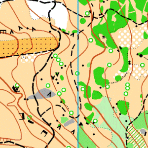 |
Map: Timrat (new map for MCO) Scale: 1:7500, 5m contours. Map make: Uzi Schweitzer, Ziv Noiman Description: Semi open areas, with some undergrowth and bushes. Moderate density of contour details and some areas with numerous rock features. |
Stay updated – join MCO 2015 on Facebook ![]()