 |
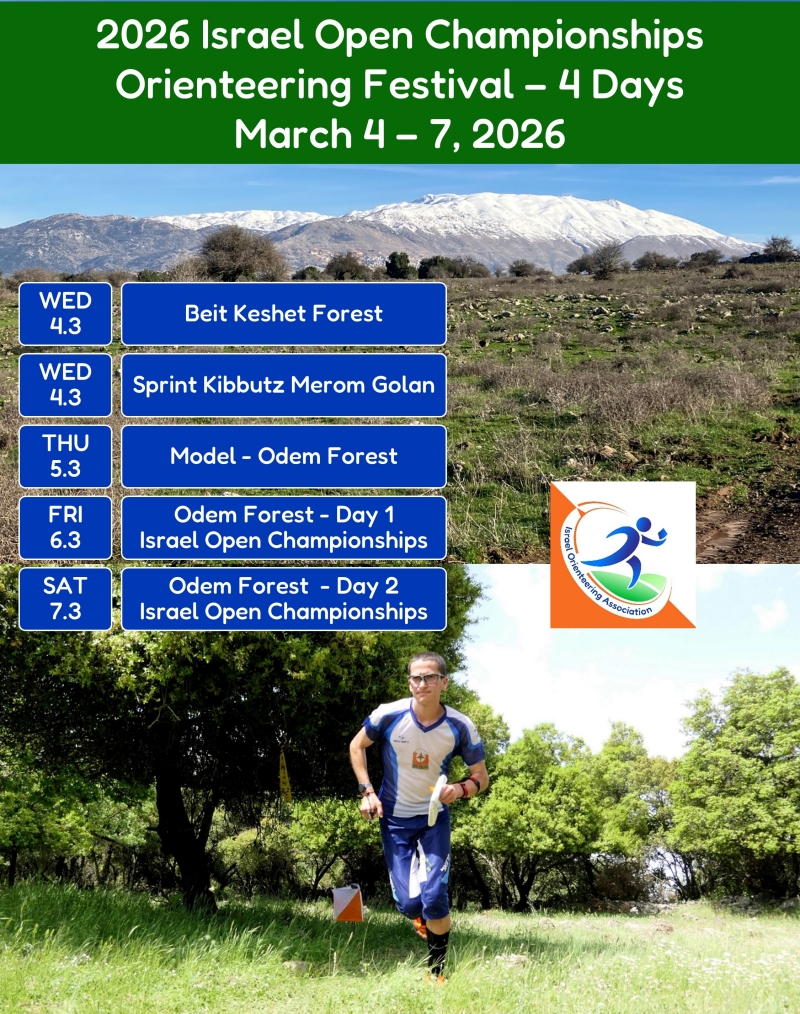
2026 IOC – BULLETIN 2 |
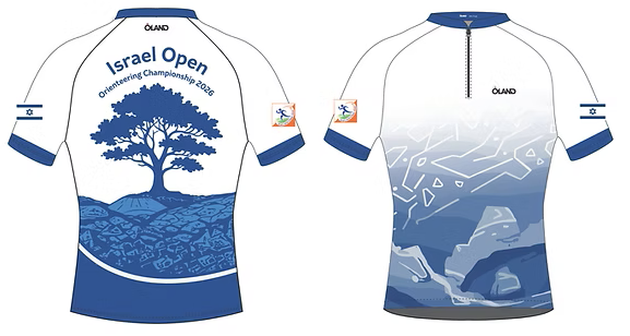
Israel Open Championships 2026 Orienteering Shirt
Order the official IOC 2026 orienteering shirt from the Olandsport website, and receive your shirt during the championship event days.
Orders must be submitted to Olandsport by 22.02.26.
At checkout, you can select the option to “pick it up at the event in Israel“.
Wednesday, March 4 – Beit Keshet (East) Forest
MORNING. Forest courses with electronic timing.
Details coming soon.
Info TBD (ISOA Hebrew website)
Wednesday, March 4 – Kibbutz Merom Golan
EVENING. Sprint courses with electronic timing.
Details coming soon.
Info TBD (ISOA Hebrew website)
Thursday, March 5 – Odem Forest
Pre-Championships Training and Model
Prior to the Israel Championships, competitors will be able to orienteer in a non-embargoed area of the forest. The training will include free-choice orienteering with controls marked by small control flags, but no electronic punching. The training will also include a suggested course of about 4-5 km.
Info TBD (ISOA Hebrew website)
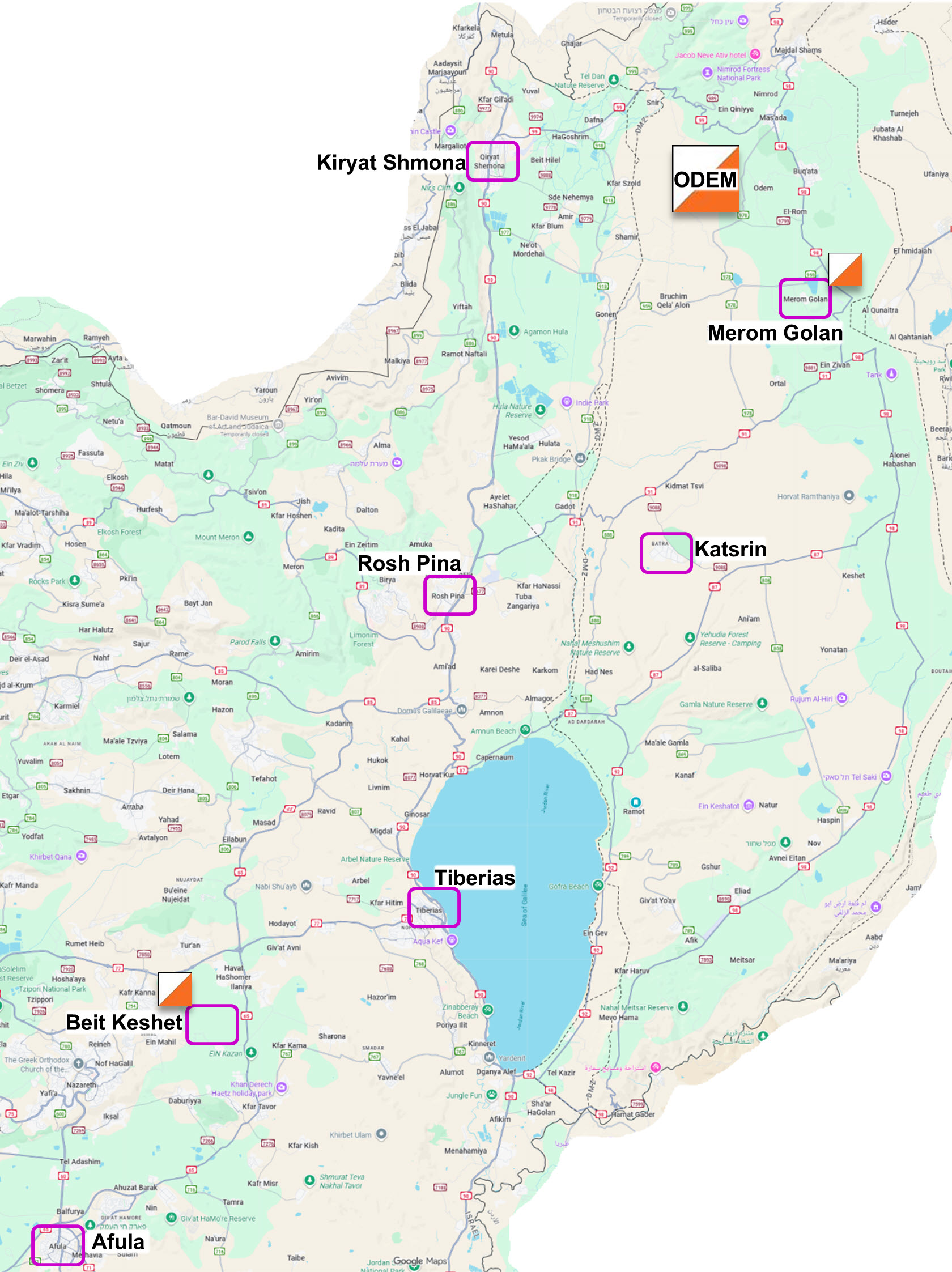
Israel Open Championships – Odem Forest
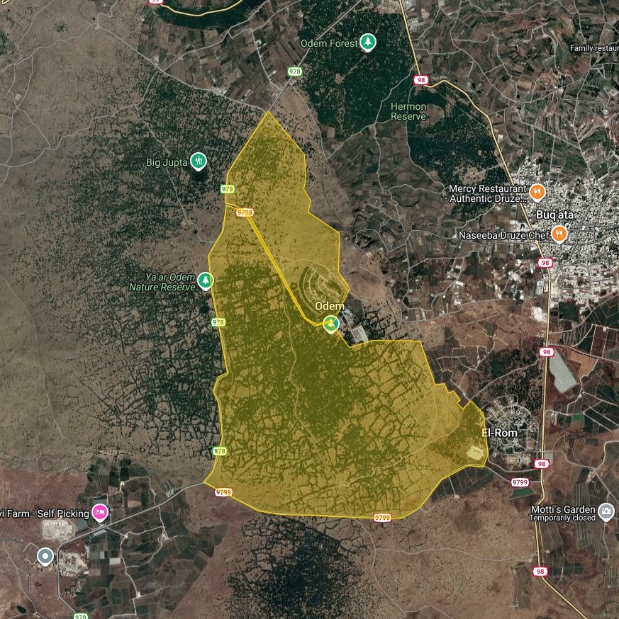
We have been orienteering in Odem Forest for the past 15 years. The time has finally come to host the Israel Orienteering Championships at Odem. For the championships, the long-time Odem Forest map has been expanded to the north, beyond the access road to Moshav Odem. This new area will be used for Day 1, while the main map will host Day 2 of the championships.
Event Director: Shalev Feldman
Organizer: Galilee Orienteering Club
Friday, March 6 – Day 1 – Odem North
Course Planner: Dan Chissick
Course Checker: Asaf Avner
Saturday, March 7 – Day 2 – Odem South
Course Planner: Asaf Avner
Course Checker: Dan Chissick
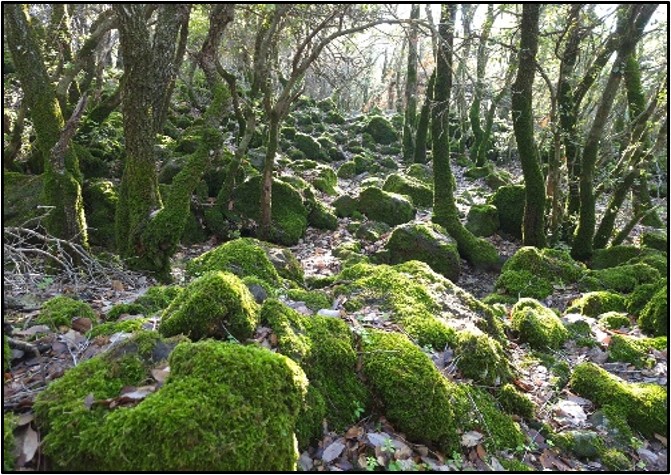
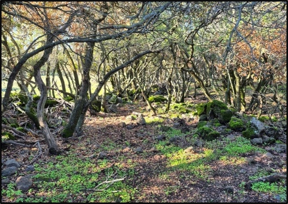
About Odem Forest
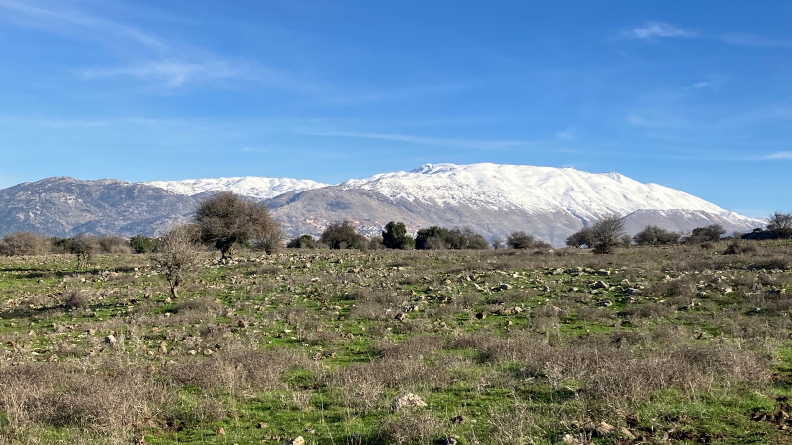
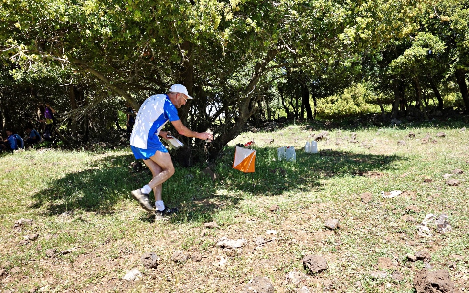
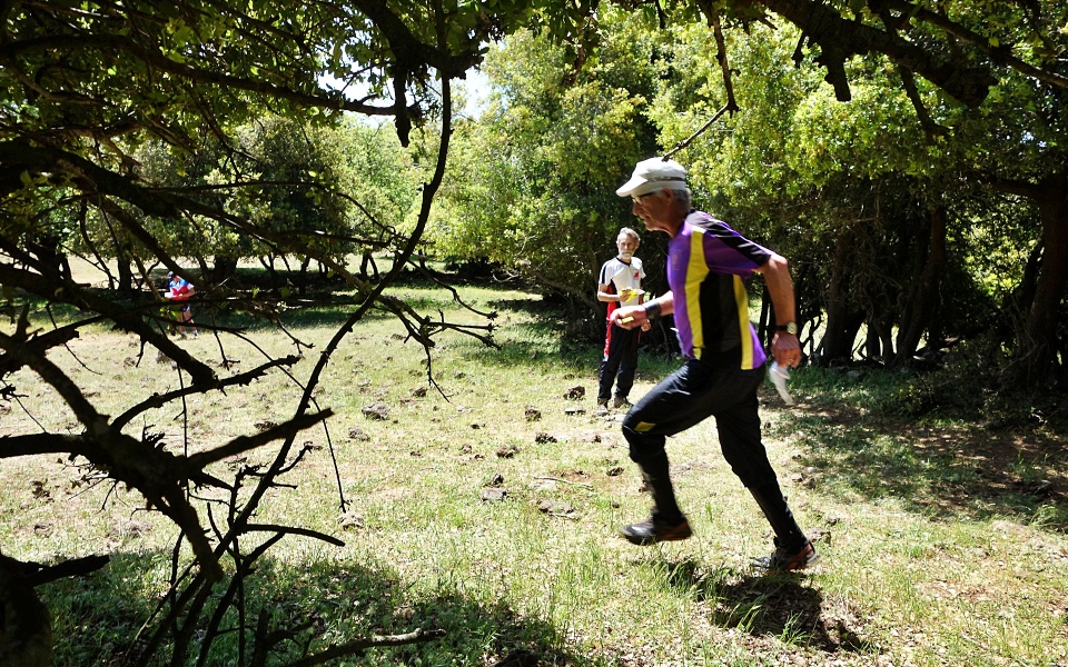
Odem Forest is a remnant of the ancient forest that once that covered most of the Golan Heights. It is covered mainly with evergreen oak trees, along with pine, terebinth, and other native Mediterranean woodland plants. The forest sits on the slopes of an ancient volcano. The ground is scattered with dark basalt boulders and red tuff rock. The forest is filled with numerous rock walls and formations.
Getting There!
WAZE: WAZE Driving Instructions (from mobile phone)
GOOGLE MAPS: Google Map Driving Instructions
Turn off Road 978 onto the access road to Moshav Odem. After 1 km, turn right onto a dirt road heading south. The event center (assembly area) is on the right after 300 m.
Please do not access the event center via the southern entrance to Odem Forest.
Assembly Area/Event Center & Parking
● The event center (shared for both days) is located in a large forest clearing adjacent to the main forest road. Use caution when driving into the clearing — there is a short section that is somewhat difficult. Shaded areas under the trees are available, but clubs are advised to bring tents as a precaution.
● Parking will be in the clearing and along the main road leading to the event center. Please follow the marshals’ instructions.
● Toilets will be located in the parking area.
● Buses and minibuses are not allowed to enter the forest area. Athletes should be dropped off on the road at the junction with the trail. Buses may park across the road opposite the trail. Walking distance to the event center is approximately 500 meters.
About the Map
● Terrain mapping began in 2009 and was largely completed by 2011, with an eastern extension in 2015 and continuous updates over the years, including the northern extension in 2023–2026. The map is highly accurate, and the terrain has changed very little over time.
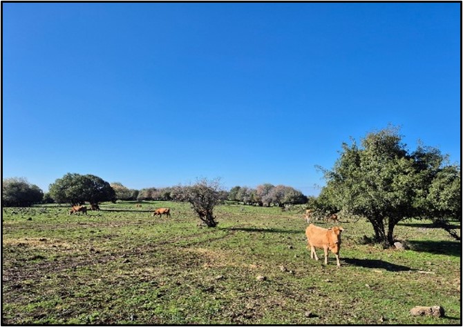
● The terrain contains very few paths and tracks. Only mapped paths should be relied upon for navigation. There are also unmapped animal tracks (cattle and wild boar). Competitors are advised to navigate primarily using mapped features rather than relying on visible tracks. However, if a mapped path coincides with your intended route, it may be used for faster running.
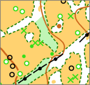
● A distinctive tree is mapped using the ISOM symbol for distinctive tree (green circle on white background) or, in some cases, a green X. A small tree or large bush is mapped with a green dot. Several closely spaced trees are mapped as white forest (runnable forest).
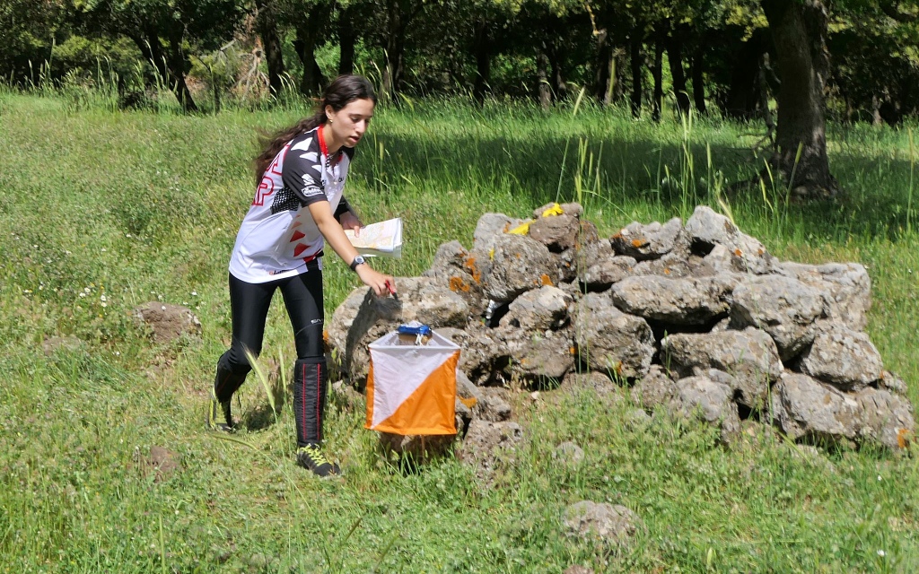
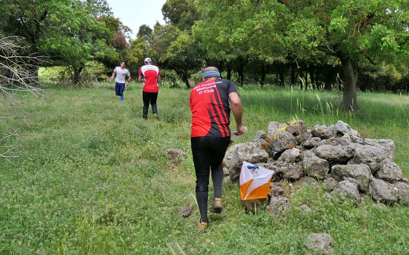
● A notable group of features on the map consists of numerous man-made pits/dugouts and earthworks, probably of military origin. These appear in the terrain as rectangular depressions with one open side, sometimes with associated ruin / stone wall remains on the inner side. They are mapped using special local symbols:
– A black symbol where a stone wall / ruin element is present.
– A brown symbol where no wall remains are present.
In the control descriptions, these features are depicted using the quarry/excavation feature symbol, as shown below.

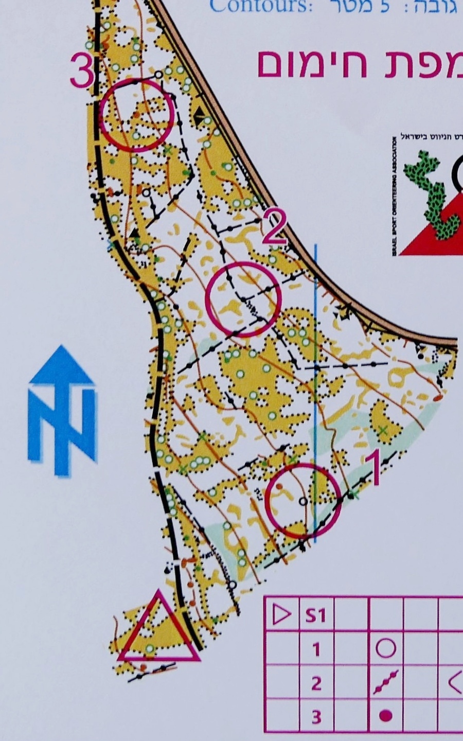
● Contour interval: 5 m.
● Map scale (1:10,000 or 1:7,500), climb, map size (A4 or A3), and exact course lengths will be published later.
Odem North
● Relief / Contours – A gentle slope descending from east to west.
● Vegetation – Similar to Odem South, but without any organized pattern of clearings. There are sections of continuous forest, scattered groups of trees, and extensive open to semi-open areas dotted with individual trees.
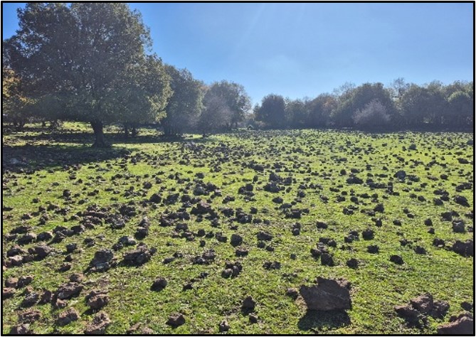
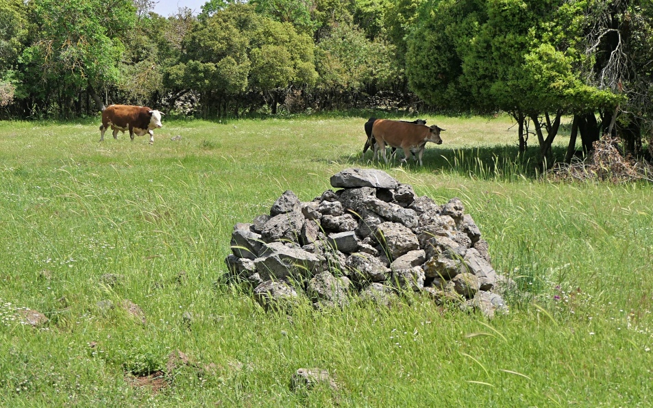
● Terrain Features – Mainly stone piles, mounds, and remnants of stone walls. Two paths enter the area, and an additional path runs around the area from the east and north.
● The northern boundary of the area is a cattle fence, which also serves as the boundary of a minefield.
● There is a temporary military camp in the center of the map. It is clearly marked as out-of-bounds, and all courses will be designed to avoid it.
Odem South
● Relief / Contours – The terrain slopes in a uniform direction, descending from northeast to southwest. The northern and eastern parts are steep, and in some areas very steep, while the southern and western parts are relatively moderate. There are very few prominent landforms in the area.
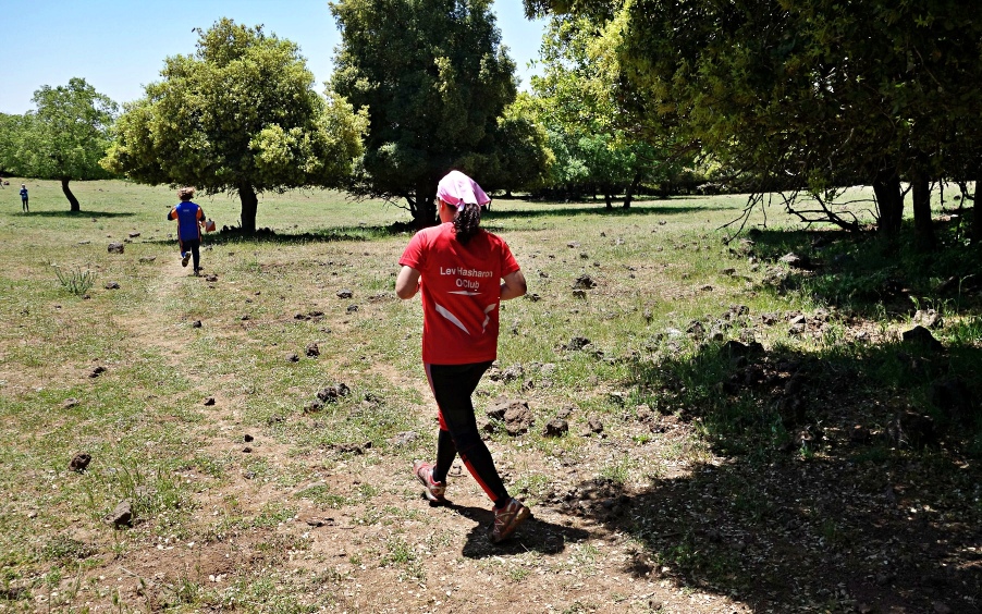
● Vegetation – Forested terrain consisting of natural Mediterranean woodland (oaks, Pistacia, storax, hawthorn, etc.), together with numerous forest clearings containing scattered individual trees. One of the characteristic features of the forest is the large number of distinct, rectangular-shaped clearings. However, in some parts of the map the forest is more continuous, making navigation more complex.
● Terrain Features – The area contains one main path running north–south, and several secondary paths. The terrain is rich in stone walls, most of which are located within forest strips separating the clearings, as well as stone fields and stone piles/mounds. In contrast, there are very few rocky features.
Odem map samples
 |
 |
Orienteering Courses
Day 1 – Odem North
● The courses will be in Middle Distance style, mostly in the new northern area, with a final section on the Odem South map in order to return to the event center.
● The start will be located north of the road, at a distance of 400 m from the event center.
● All courses will have a mandatory supervised road crossing to return from the northern part of the map to the southern part.
● There will be no spectator control.
● A model/warm-up map will be provided.
Day 2 – Odem South
● The courses on the second day of the championships will be in Long Distance format, with alternating long and short legs, making full use of the best that Odem Forest has to offer — technical navigation with many mapped features and almost no paths. This may require you to slow down your running pace, but will certainly demand higher technical navigation speed.
● All courses, except the very shortest, will include a spectator control with mandatory spectator passage. Further details about the spectator control will be provided later.
● Water stations will be located at one or two locations along the main road, and at the spectator control.
● Warm-up will be allowed only along the main road, from the northern forest entrance to the start.
● A model/warm-up map will be provided.
Recreational Course – “Fun Orienteering”
● The Fun Orienteering course will be the same on both days, and will be open throughout the day on Friday.
● The course loops around Moshav Odem and climbs the slopes of Mount Odem, with spectacular views toward Mount Hermon and the Galilee Panhandle.
● This is a longer and more challenging course than usual (as befits the Israel Championships), but is still definitely suitable for families.
On-site registration available.
Start Times
Competition Day 1: 9:00 to 11:00
Competition Day 2: 9:00 to 11:00.
Start lists will be published several days prior to event.
Registration
All competitors from abroad in all classes must register by registering through the Orienteering Online website.
Registation and payment details appear in the BULLETINS.
The deadline for IOC entries is 28 February 2026.
Start lists for IOC will be published 1-2 days prior to the championships.
Punching System
All events will be organized using the SPORTident electronic punching system. Competitors may use their own SI cards. SPORTident Air (SIAC) punching will be supported at all events.
SIAC cards can also be rented from the organizers. Loss of a rented SI card will result in a charge of €80.
Health and Safety
ISOA will provide first-aid at each competition site. Emergency care and major hospitals are within a 60-minute drive from the competition sites. ISOA will not bear responsibility related to medical costs for participants.
Awards Ceremony
Winning scores are a cumulative two-day total. Medals will be awarded for each category at the conclusion of the second day of competition.
AWARD CEREMONY – Saturday at 12:30
Contact Info
For more information, and to register, send email to: Israel Orienteering Office
Courses & Categories
Age categories for the entire 2025-26 league season, including the Israel Open Championships, are determined by the competitor’s age on 31 December 2025.
| Courses / Categories | Day 1 (km) Middle |
Day 2 (km) Long |
| Long H21A, H35A |
5.5 | 11 |
| Medium P D21A H18A, H21B, H40 |
5 | 8 |
| Medium A H50A, H55, H60A |
4.5 | 6 |
| Medium B D18A, D21B, D35, H21C, H35B, H45 |
4.5 | 6 |
| Medium Y D16A, D18B H16A, H18B |
4.5 | 6 |
| Short+ D D21C, D40, D45, D50, D55, D60, D65 |
3.5 | 4 |
| Short+ H H50B, H60B, H65, H70 |
3.5 | 4 |
| Gold D70, D75, D80 H75, H80, H85, H90 |
2.5 | 3 |
| Short D14A, D16B H14A, H16B, |
3 | 3 |
| Shorty D12, D14B H12, H14B, |
2 | 2 |
D=Women | H= Men
O-Training and Travel in Israel
Come and enjoy additional days O-training and sightseeing in Israel. Contact office@nivut.org.il
Inexpensive Accommodations in Israel
Israel Youth Hostel Association – Network of guesthouses and youth hostels throughout Israel.
Israel Hostels (ILH) – Independent Travelers’ Accommodation
Abraham Hostels – Jerusalem, Tel Aviv, Nazareth, Eilat locations
Odem means ruby, representing the color red. Odem refers to the color of the rocks of Mount Odem, an extinct volcano. The area is covered with some 20 guba, or volcanic crater, with the largest about 250 meters in diameter. It is believed they were formed by either air or water that was trapped under the lava and eventually disappeared, leaving behind a big hole. Near Odem Forest you can also see Rujum al-Hiri (Circle of Ghosts), a Megalithic structure about 5,000 years old that researchers believe was used for ritual purposes, burial or as an astronomy observatory.
About the Course Planners
Dan Chissick has been at the heart of Israeli orienteering for decades as both an athlete and organizer. He has represented Israel internationally and continues to compete at a high level. Dan has been central in developing orienteering in Israel—mapping new areas, planning courses, organizing events, and promoting the sport to wider audiences. For many years, Dan has written about the sport in his orienteering blog.
Asaf Avner has been competing in the elite category since his teenage years, representing Israel at EYOC, JWOC, EOC, and WOC. He is also active in developing the sport through mapping, organizing events, coaching young athletes, and accompanying national teams at international camps and competitions. Beyond orienteering, Asaf is an accomplished mountain runner and skyrunner.